

The level of many Italian lakes has recently received significant interest (e. g., see here), and also the level of Lake Bolsena (see our recent news and various articles in the local press): is it too high? Too low? What is the actual lake level?
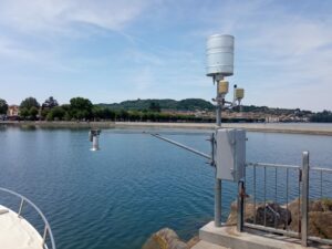
AEGIS gauge station in the port of Marta
To better understand what’s going on, we consult the Lazio Region’s website (AEGIS), which reports data from the “Marta” telemetric gauge station (ID = 45319), installed in the port of Marta. On August 3rd, it showed a level of 110 cm.
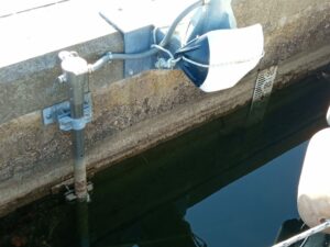
AUBAC gauge station
On the AUBAC website we find data from the “Lago di Bolsena” telemetric monitoring station (ID = 3), also located in the port of Marta, not far from the first: on August 3rd, it showed a level of 74 cm.
On the same date, on the staff gauge in the port of Capodimonte (a traditional direct-reading calibrated scale set up about 30 years ago by Piero Bruni and his collaborators of the Lago di Bolsena association) we read a level of 100 cm.
Another staff gauge in the port of Marta (located next to the AUBAC station) shows a level of 76 cm, and yet another, in the port of Bolsena, shows 34 cm.
This variety of levels is quite confusing! Yet, all monitoring stations measure the same surface of the same lake, which shouldn’t show any difference in elevation. How can we explain these differences – a supernatural phenomenon?
And above all – what is the real lake level?
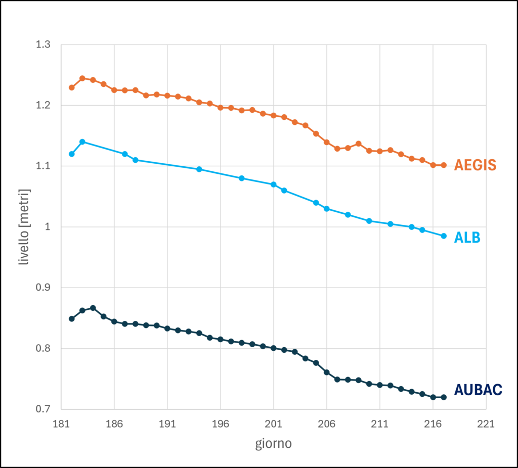
water level changes from July 1th on, for different monitoring devices
Following the daily level changes for a certain period (see adjacent graph), we observe that these changes are identical for the various devices, but with a systematic shift in all values from one instrument to another. Could it be that each of these measurements refers to a different reference level?
For lakes like ours, which is a regulated or “controlled lake,” it is good practice to use the elevation of the threshold which separates the lake from its outlet as the reference level, the “zero”; for our lake, this is also required by the regulations. In Lake Bolsena, this threshold is represented by the stone sill inside the barrage named ‘Traversa sul Marta’, upon which the floodgates rest when closed. The opening of the floodgates regulates the flow from the lake into the outlet.
The zero of the Capodimonte staff gauge corresponds exactly to this zero-level (which is located 303.41 meters above sea level)—the measurement we read therefore directly informs us how much the lake surface level exceeds the elevation of the threshold. The accuracy of this measurement can easily be verified by a direct measurement at the Traversa, which we do regularly.
Without any doubt, the only correct measurement of the level is that of the Lago di Bolsena association. Neither AEGIS nor AUBAC specify which reference level they use.
Now, it is of primary importance to regulate and manage the lake level according to criteria established by the regulations (we will discuss this point in the next newsletter). Therefore, it is necessary to unequivocally measure the level on a certain date, compare it to the level required by the regulations, and manage the flow from the Marta to eliminate this difference.
In order to clarify the differences between the respective measurements, which could lead to inappropriate management actions, the Lago di Bolsena Association has written to the Region and the Basin Authority. We await their responses.
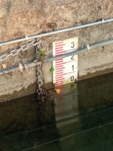
staff gauge in the port of Capodimonte

